Living & business
How to Choose a Foshan Neighbourhood with a Weekly Anchor Map
Map the places that shape a normal week before comparing Foshan neighbourhoods. This guide turns exact destinations and journey constraints into a practical shortlist.

On this page
- Start with the week, not the district
- Build your weekly anchor list
- Record exact destinations
- Add frequency and timing constraints
- Describe the traveller and the load
- Separate essential anchors from preferences
- Resolve every anchor to the correct map layer
- District is only the first layer
- Transport systems are separate layers
- Create a neighbourhood shortlist without false scores
- Test the complete journey
- Check public-service geography separately
- Keep changing facts in a live-check layer
- Use the anchor map as a decision record
- Continue planning your move
- About the author
Choosing where to live in Foshan starts with a map—but not a map of “best neighbourhoods.” Start with the places that will shape a normal week: the exact workplace entrance, a regular care destination, a transport hub, a recurring appointment, or the part of the city where you need to be after dark.
Foshan Living calls this a weekly anchor map. It is our editorial planning method, not an official government tool, property score or guarantee of convenience. Its purpose is simple: turn your real destinations into a shortlist of areas worth investigating.
This guide does not compare rent, developments, schools or neighbourhood safety. It does not publish fixed commute times. Those questions require different evidence and current, address-level checks. Here, the task is to build a clear research brief before property listings begin to influence the decision.
Start with the week, not the district
Foshan has five districts: Chancheng, Nanhai, Shunde, Gaoming and Sanshui. Those names matter for administration and broad orientation, but they are too large to predict an ordinary routine.
Nanhai and Shunde make the limitation especially clear. Each contains several town- or subdistrict-level areas with their own centres and service geography. Two addresses can share a district name while belonging to very different daily networks. A district label therefore cannot tell you whether a journey has one system or several, whether the final walk works, or whether the destination is even near the centre you had in mind.
If the five-district structure is still unfamiliar, begin with Living in Foshan: The Basic City Structure. That L1 guide explains the citywide map. This article begins one level lower: your repeated week.
Imagine two people who both say they work “in Shunde.” One has an exact destination in Daliang; the other has one in Lecong. Treating the district name as the destination hides the information that matters. The same problem appears when a listing says it is “near the metro” without naming the station, exit, walking route or system required by the complete trip.
The remedy is not a universal neighbourhood ranking. It is a personal evidence table.

Build your weekly anchor list
An anchor is a place you must reach often enough, or reliably enough, that it should influence where you live. Begin with a blank sheet rather than a property search.
A useful first version has six fields:
| Field | What to record |
|---|---|
| Anchor | The task: work, care, appointment, transport or regular activity |
| Exact destination | Full address, named entrance or verified map pin |
| Frequency | How often it matters in a normal week or month |
| Arrival constraint | When you genuinely need to be there |
| Return constraint | What makes the journey home difficult or important |
| Traveller condition | Who travels, what they carry and any access requirement |
This table is an editorial worksheet. It is not a transport forecast. Do not fill it with copied journey minutes that may change before you move.
Record exact destinations
Replace broad labels with the smallest verified location available.
- “Office in Nanhai” becomes the exact building entrance.
- “Guangzhou meetings” becomes the station, office or district actually used most often.
- “Hospital” becomes the institution and relevant entrance, if already known.
- “Rail travel” becomes the station used for the journeys you actually take.
An exact address prevents a famous place name from becoming a false proxy. It also exposes ambiguity. A station and a district may share a familiar label without representing the same walking area. Two facilities under one organisation may provide different services.
If an anchor is not yet confirmed, mark it unknown. An honest unknown is more useful than an invented pin.

Add frequency and timing constraints
Frequency changes the weight of an anchor. A destination reached five days a week should usually influence the shortlist more than one reached once a month. But frequency is not the only factor. A less common trip may still matter if it has a difficult return, strict arrival requirement or limited alternative.
Write constraints in plain language:
- “must arrive before a scheduled shift”;
- “often returns after the normal daytime routine”;
- “travels with a child and bags”;
- “needs a step-reduced route”;
- “occasionally carries samples or equipment.”
Do not convert these notes into a universal score. Their purpose is to make trade-offs visible.
Describe the traveller and the load
A route that looks simple for one adult carrying nothing may work differently with luggage, a stroller, mobility needs or work materials. Record the real travelling condition before comparing areas.
This is not a claim that a particular route is accessible. Current lifts, entrances, crossings and station facilities require a live check. The worksheet merely makes those questions impossible to forget.
Separate essential anchors from preferences
Not every place belongs in the same priority tier. Divide the list into three groups:
- essential anchors: failure to reach them reliably disrupts work, care or a core responsibility;
- regular anchors: they shape the week but allow some flexibility;
- preferences: desirable places or environments that should not quietly overrule essential journeys.
This separation protects the decision from attractive but weak signals. A photographed street, a new commercial complex or a familiar district name may feel persuasive before the actual week has been modelled.
Preferences still matter. Public space, food access, evening environment and the quality of the final walk can affect daily life. But first define what cannot fail. Then use preferences to compare candidates that already satisfy the essential research questions.
The method also reveals conflicts. If two essential anchors sit in different parts of the metropolitan area, there may be no frictionless answer. The goal becomes choosing which journey should be simpler and which compromise is acceptable—not pretending one neighbourhood solves everything.
Resolve every anchor to the correct map layer
Once the list is complete, research the geography behind each row.
District is only the first layer
For each destination, record:
- district;
- town, subdistrict or local centre;
- exact neighbourhood or address;
- nearby transport node, if relevant;
- responsibility for any official service involved.
This sequence matters because official portals and local services may be organised by territory, while transport follows its own network. The district tells you where to start; it rarely finishes the job.
Do not assume that a district seat is close to every destination inside the district. Do not use Guicheng as shorthand for all Nanhai or Daliang as shorthand for all Shunde. These are useful orientation points, not substitutes for addresses.
Transport systems are separate layers
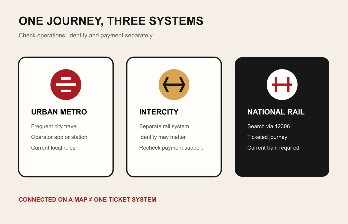
Foshan journeys may involve urban metro, Guangdong intercity or national rail. These systems have different operators and current information sources. A nearby line on a map does not guarantee a one-system trip, a convenient interchange or a suitable return.
Identify the transport system before checking a live journey. Then record:
- the operator responsible for current information;
- whether the trip changes system;
- whether the transfer requires a separate gate, ticket or verification step;
- the final walking or road segment;
- what must be rechecked close to the travel date.
Never freeze a timetable, fare or supported payment method inside the anchor map. Link to the current operator instead.
Create a neighbourhood shortlist without false scores
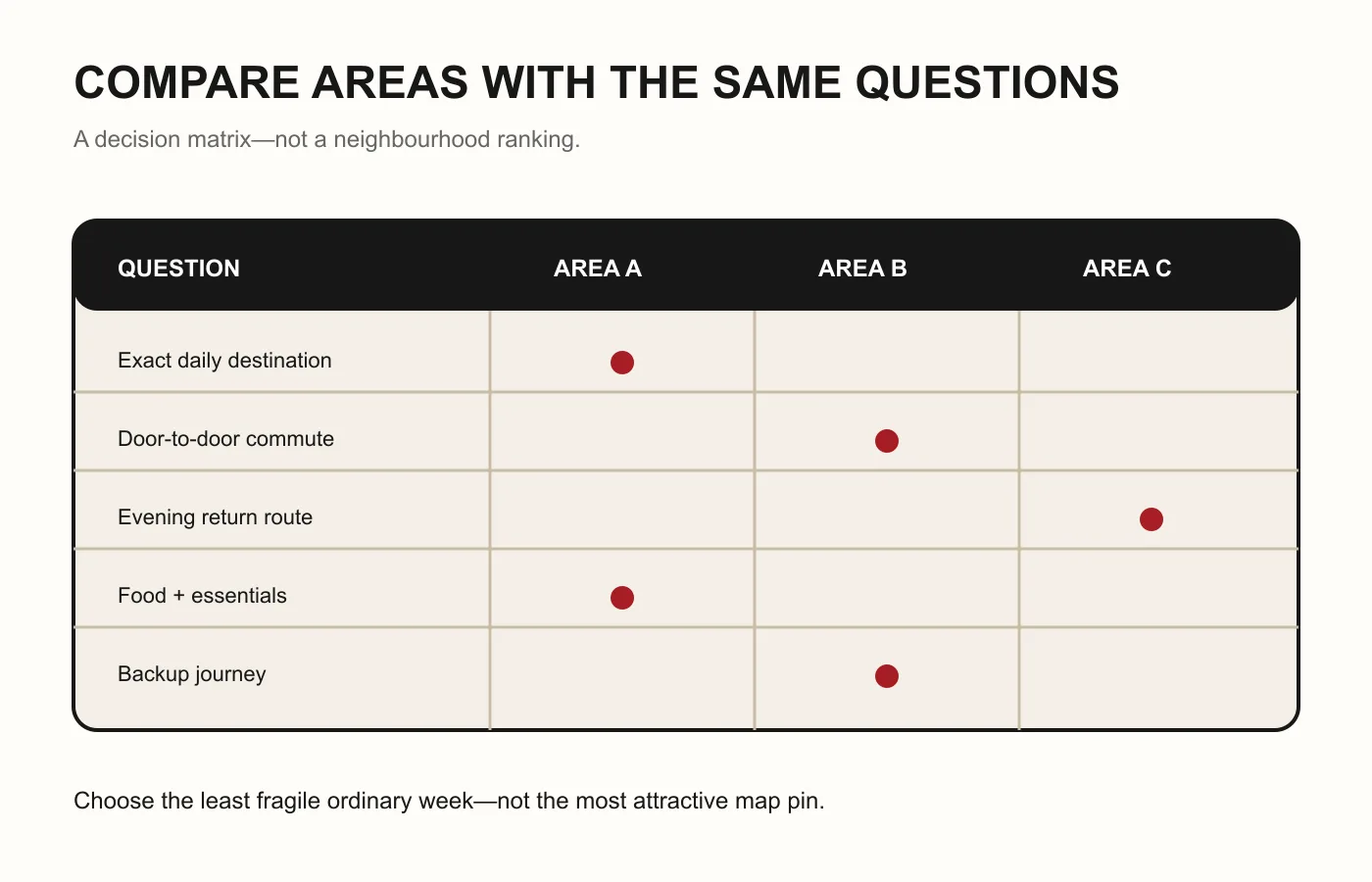
Now create a shortlist of areas—not properties. For each candidate area, ask the same questions:
- Which essential anchor does it simplify?
- Which essential anchor becomes harder?
- Does the journey depend on one transport system or several?
- Is the final segment known, or still an assumption?
- Which journey constraint needs an in-person test?
- Which public-service question remains unresolved?
Use words such as direct research needed, one-system candidate, transfer-dependent, last-mile unknown and live check required. These labels describe work still to do. They do not pretend to measure quality.
Avoid a single numeric “convenience score.” Numbers can hide unequal priorities and make temporary route results look permanent. A comparison table with visible trade-offs is more honest.
A shortlist of two or three areas is enough for the next stage. If it contains ten, the anchors are probably still too broad.
Test the complete journey
A map check is a hypothesis. Test the complete route under conditions that resemble the real week before making a housing commitment.
Begin at the candidate area, not a convenient station chosen for the test. Continue to the exact destination. Observe:
- the route from street to platform or vehicle;
- crossings, shade, shelter and luggage friction;
- transfers between operators or modes;
- the destination’s actual entrance;
- the return chain;
- what happens when one planned connection is unavailable.
Repeat the most important journey at a relevant time rather than relying on a single quiet visit. The result is still a dated observation, not a permanent commute promise.
This is also the moment to separate street questions from building questions. A workable neighbourhood does not prove a particular home is suitable. Building condition, contract, property rights and household needs require their own checks, outside this guide.
Check public-service geography separately
Some anchors involve government or public services. Do not assume the nearest office handles the matter, or that a citywide portal means every step is citywide.
Record:
- the exact matter;
- the applicant or user type;
- the associated address or institution;
- the relevant district;
- the responsible department;
- the current official guide.
Distinguish a government portal, service guide, application system and physical service point before treating a public-service location as an anchor.
This article does not determine eligibility for education, healthcare, registration or any other service. An address may affect a process, but the current responsible authority must explain how.
Keep changing facts in a live-check layer

The anchor map is durable because it stores your needs. The answers around those needs can change.
Recheck before acting:
- current route and operator;
- first and last service relevant to the real journey;
- station entrance, lift and interchange condition;
- road works or temporary access;
- public-service responsibility and current guide;
- the exact property address and building access.
Keep the date and source beside every live result. If the route changes, update that cell rather than rewriting the whole decision method.
Do not save a screenshot and treat it as timeless. Preserve the official link and note what would invalidate the observation.
Use the anchor map as a decision record
A good anchor map does not announce a perfect neighbourhood. It shows why a shortlist exists.
When comparing two candidates, write a short decision record:
- which essential anchors each candidate supports;
- which compromise remains;
- what was tested in person;
- what is still unknown;
- which live facts must be confirmed before signing anything.
This record helps when attractive listings create pressure to decide quickly. It also makes future changes easier. If a workplace moves or a care need changes, update the relevant anchor and revisit the shortlist.
The method remains intentionally modest: exact destinations first, area shortlist second, live testing third, property decision later.
Continue planning your move
Return to Foshan’s basic city structure when a district or town name is unclear. Keep transport and public-service details in a dated live-check layer.
About the author
Tom Ashworth covers living and business for Foshan Living. He explains how city structure, public systems and commercial geography affect practical decisions while keeping prices, policies and operator details in a clearly dated verification layer. See all articles by Tom Ashworth.
Image credits and disclosures
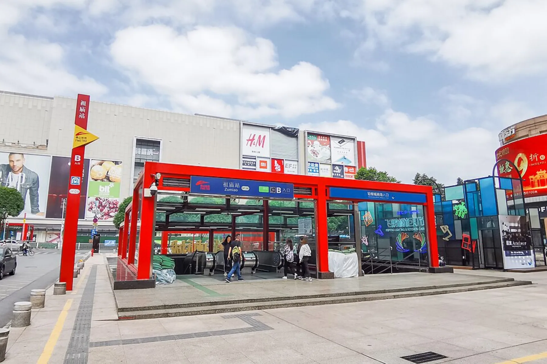
- hero.webp Zumiao Station provides one real street-level example of a Foshan centre. It does not represent every district centre or confirm a current exit, route or service condition. Nissangeniss · CC BY-SA 4.0; cropped and resized derivative · CC BY-SA 4.0
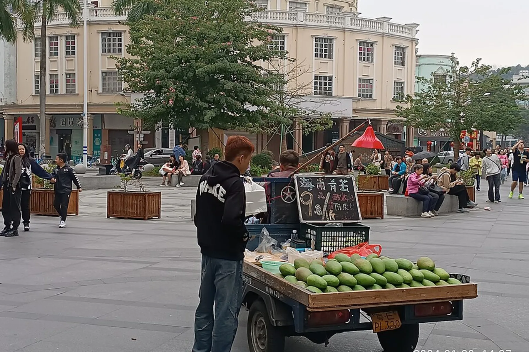
- body-01-neighbourhood.webp Huagai Road shows one lived-in public-commercial environment in Daliang. The photograph does not rank the neighbourhood, recommend a business or confirm current trading conditions. Lau Hau Yatyue Tiger · CC0; cropped and resized for web · CC0
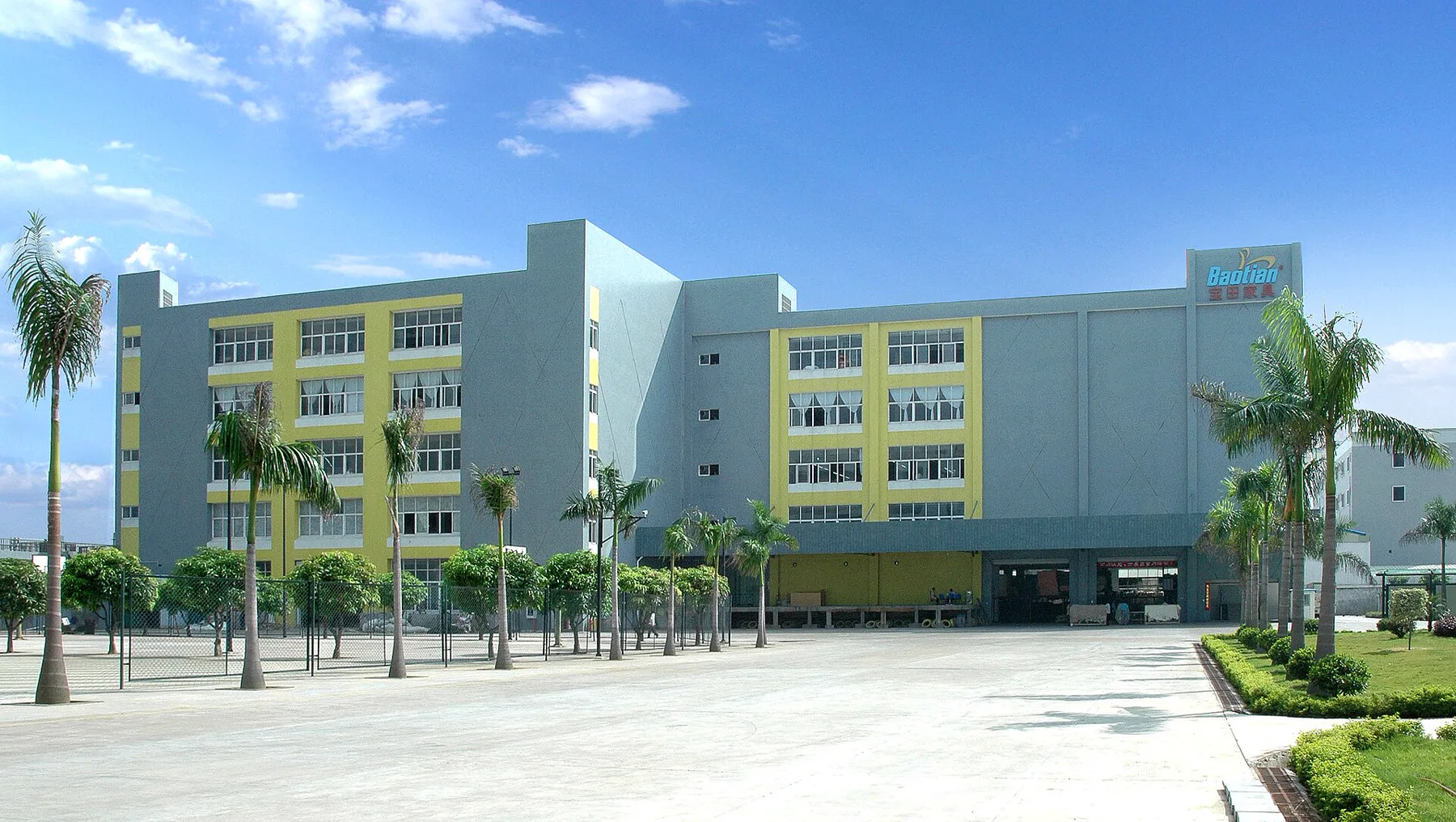
- body-02-workplace.webp This Shunde factory exterior documents one possible workplace scale and entrance context. It does not endorse the company or support claims about current employment, access, output or product quality. Baotianliao · CC BY-SA 4.0; cropped and resized derivative · CC BY-SA 4.0
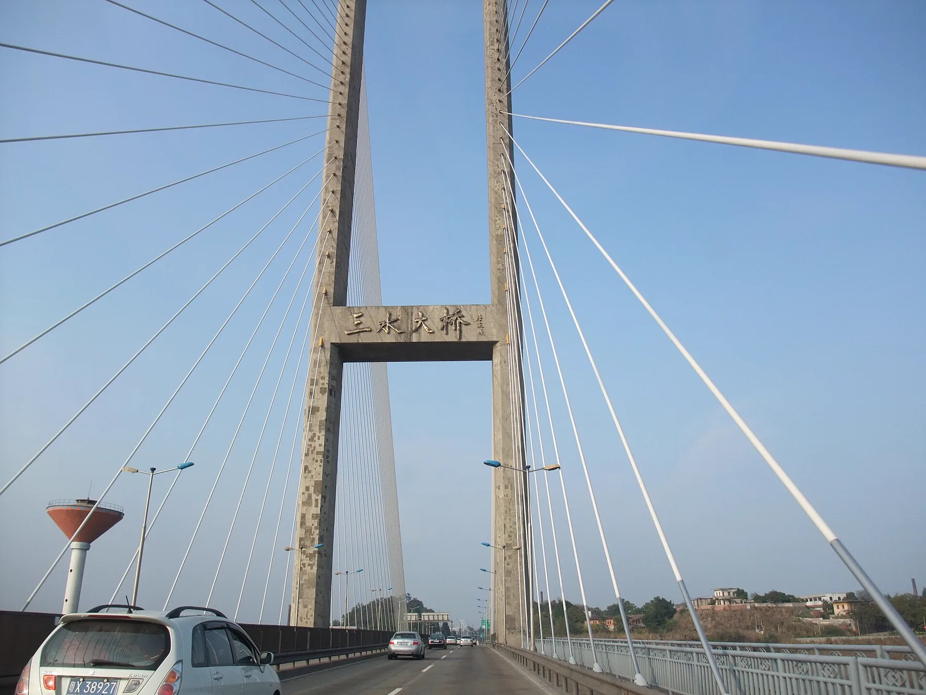
- body-03-sanshui-bridge.webp Sanshui Bridge records one piece of Foshan’s physical transport infrastructure. It is not a route recommendation and does not establish current traffic, access or travel time. 海中梁伟汉 · CC BY 3.0; cropped and resized derivative · CC BY 3.0
- body-04-transport-systems.webp Foshan Living editorial diagram. The three systems may appear in one journey, but each requires its own current operating, identity and payment check. This is not a service map. Tom Ashworth / Foshan Living · Project-original infographic reused from the accepted moving-to-Foshan package
- body-05-area-comparison.webp Foshan Living editorial decision matrix. It compares the questions applied to candidate areas; it does not score or rank real Foshan neighbourhoods. Tom Ashworth / Foshan Living · Project-original infographic reused from the accepted moving-to-Foshan package

Keep exploring
Related Foshan guides
 Explore Foshan
Chancheng or Shunde: Where Should You Start in Foshan?
Choosing between Chancheng and Shunde for a first Foshan trip? Compare heritage, food, neighbourhood pace, transport planning and where to stay.
 Explore Foshan
Understanding Foshan: A City of Five Districts
Learn how Foshan’s five districts differ, which areas suit culture, food, urban life or nature, and why every short trip needs a specific local base.
 Explore Foshan
Zumiao Old City or Shiwan: How to Choose Your Chancheng Day
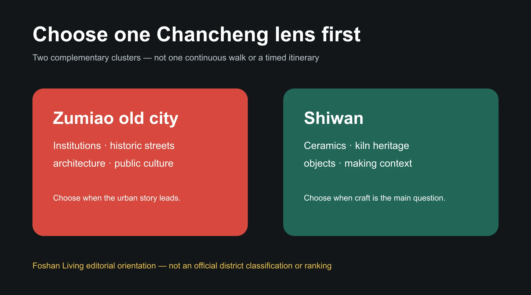
Compare Zumiao old city and Shiwan, choose one main Chancheng cluster, and add the other only after checking the complete route and current access.
 Explore Foshan
Chancheng: Foshan’s Historic Urban Core
Understand Chancheng through the Zumiao old city and Shiwan’s ceramic heritage, with guidance on walking scale, transport checks and where to base.
Plan your visitFirst Time in Foshan
Build a first trip around districts, transport, food and one deeper cultural interest.